Environment
Archived — This article has been archived. The information may be outdated.
Satellite maps show 145120 hectares submerged in Assam
NDTV··31 Jul
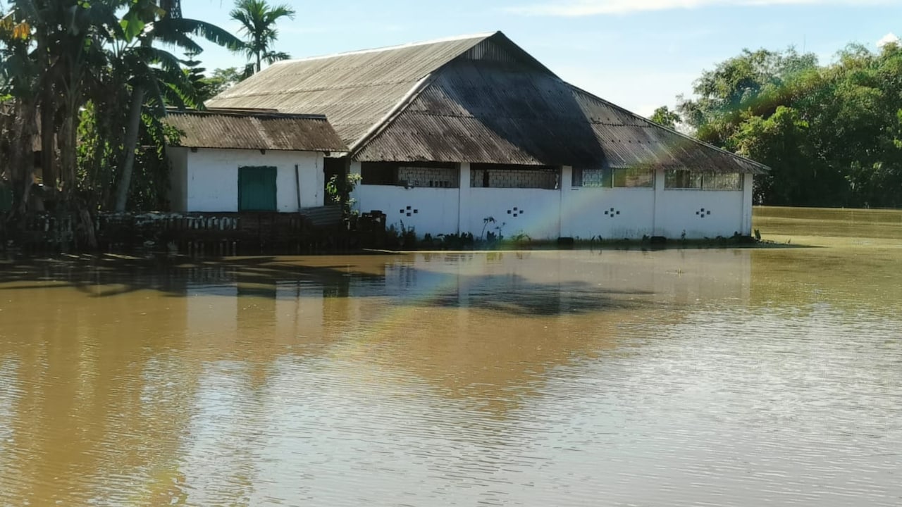
Satellite maps reveal about 145,120 hectares submerged across Assam amid ongoing monsoon floods on July 30. Remote sensing data provides a broad view of inundation as rivers overflow in multiple districts statewide. The imagery supplements ground reports as rescue and relief teams reach stranded communities where road access remains limited during peak flood conditions.
Prism
What It Means For You
- Assam residents in flooded districts can use satellite based maps to understand the scale of inundation in their region.
- Relief volunteers can target aid to areas where satellite imagery shows the largest submerged zones.
- Policy makers reviewing disaster response gain measurable data on flood extent beyond ground reports alone.
What's Happening
- Satellite maps reveal about 145,120 hectares submerged across Assam amid ongoing monsoon floods on July 30.
- Remote sensing data provides a broad view of inundation as rivers overflow in multiple districts.
- The imagery supplements ground reports as rescue and relief teams reach stranded communities across the state.
Satellite View Of Monsoon Inundation
- Assam faces annual monsoon flooding, but 2026 has brought particularly severe inundation across several districts.
- Satellite mapping helps disaster agencies allocate resources when ground access to remote villages is limited.
- Previous flood seasons have prompted calls for improved embankments and early warning systems in vulnerable basins.
all-newstop-storiestrending-now