EnvironmentBreaking
Archived — This article has been archived. The information may be outdated.
Why multiple systems are prolonging Delhi-NCR rain
NDTV··8 Aug
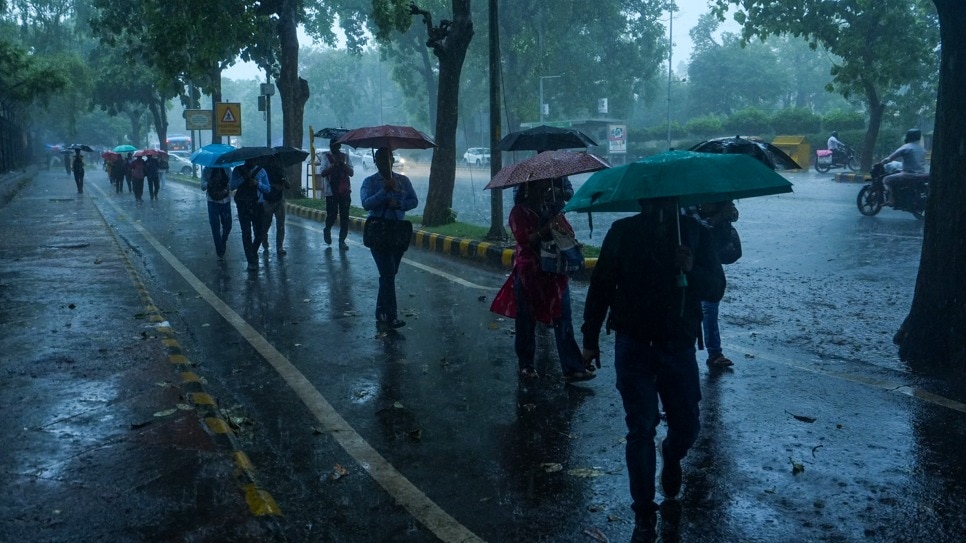
Prolonged rain over Delhi-NCR in early August 2026 is linked to several systems acting together. A low pressure over southwest Uttar Pradesh, a monsoon trough through Delhi, a Western Disturbance and Bay moisture are combining. On August 7 afternoon, Pushp Vihar recorded 111.5 mm, Chhatarpur 104.5 mm and Safdarjung 57.3 mm. Maximum temperatures fell about 3 to 6 degrees Celsius.
Prism
What It Means For You
- Delhi-NCR commuters can expect intermittent light rain through August 9 to 13 and should plan around waterlogged stretches.
- Residents can use local rainfall figures such as Pushp Vihar 111.5 mm and Chhatarpur 104.5 mm on August 7 to gauge neighbourhood risk.
- Anyone sensitive to heat can note maximum temperatures fell about 3 to 6 degrees Celsius during the spell.
What's Happening
- Multiple weather systems, including low pressure over southwest Uttar Pradesh and a monsoon trough through Delhi, are prolonging rain over Delhi-NCR.
- On August 7 afternoon, Pushp Vihar recorded 111.5 mm, Chhatarpur 104.5 mm and Safdarjung 57.3 mm.
- Forecasts indicate intermittent light rain from August 9 to 13 as highs gradually rise toward 32 to 35 degrees Celsius.
Why So Many Systems Are Overlapping
- A Western Disturbance in middle and upper tropospheric westerlies is interacting with monsoon winds over northern India.
- Bay of Bengal moisture is being drawn northwest by cyclonic circulation linked to the low pressure area.
- The monsoon trough at mean sea level running through Delhi keeps the capital inside the active rain belt.
all-newstop-storiestrending-now