Environment
Archived — This article has been archived. The information may be outdated.
WMO tracks strongest El Niño since at least 1950
BBC News··3 Sept
UN Secretary-General António Guterres said extreme-weather risks are rising as El Niño impacts begin. The World Meteorological Organization said the event could be the strongest for more than 70 years and last until at least February 2027. Pacific monitoring waters have been well over 2C above average. Panama Canal vessel passages will fall by more than 10 percent on Thursday.
Prism
What It Means For You
- WMO forecasts drier conditions across large parts of South East Asia, Central America and northern South America.
- Panama will cut canal vessel passages by more than 10 percent as rainfall is expected to fall.
- Indonesia reported wildfires burning more than 107,000 hectares this dry season.
What's Happening
- Guterres described El Niño as being supersized as ocean heat rises.
- Forecasts suggest monthly sea surface temperatures could approach 4C above average in the key Pacific region.
- Temperatures below the Pacific surface have run more than 8C above average in places.
How El Niño Works Here
- El Niño develops in the Pacific when wind shifts let warm water spread east and release heat.
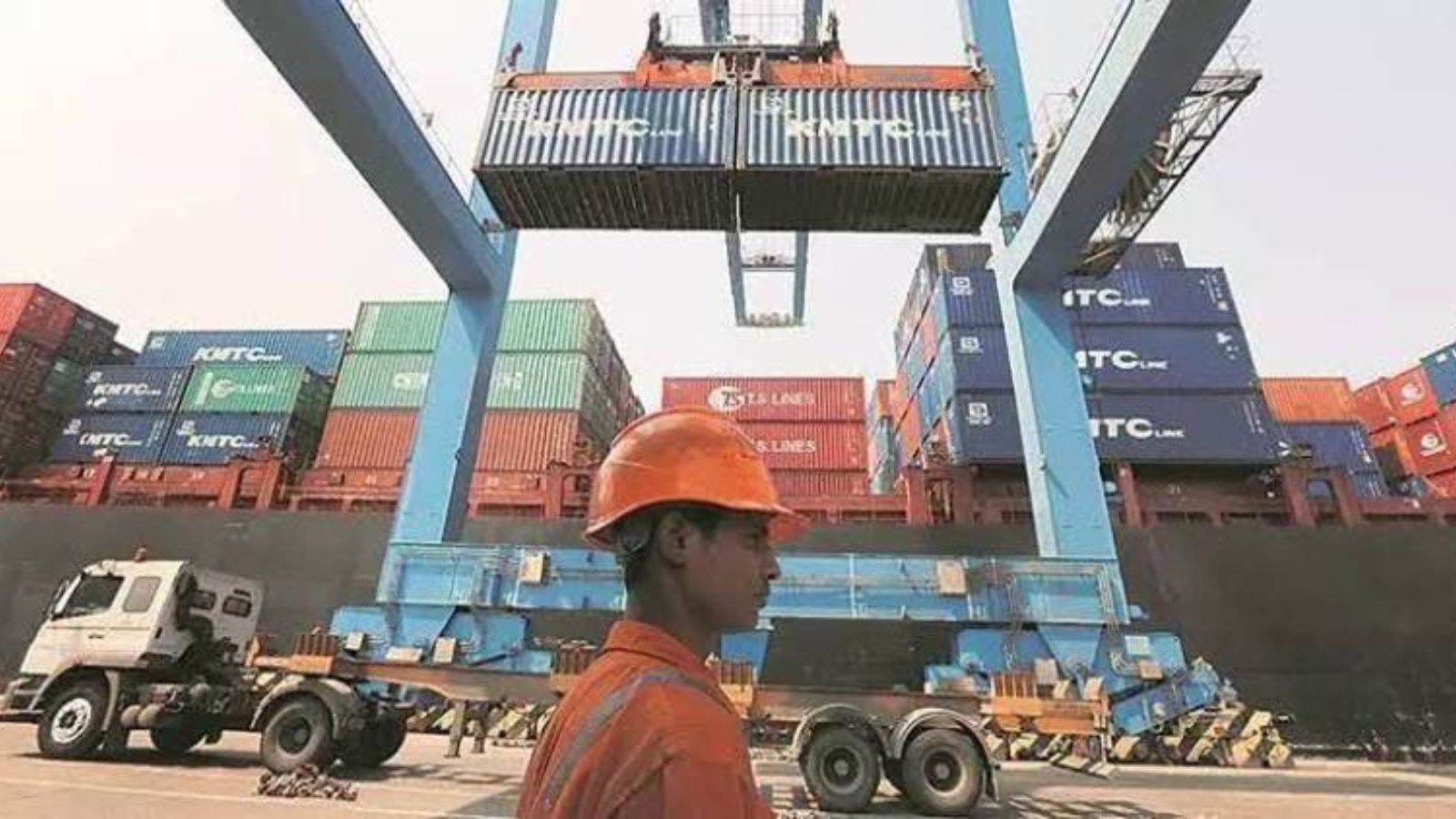
- The canal handles about 14,000 ships a year and brings Panama about $3bn in income.
- Australia has expanded marine heatwave early warnings for fisheries relief and coral monitoring.
all-news