Technology
Archived — This article has been archived. The information may be outdated.
ISRO releases first NISAR radar data via Bhoonidhi portal
The Times of India··27 Jul
ISRO has released the first batch of S-band radar data from the NASA-ISRO Synthetic Aperture Radar mission through its Bhoonidhi earth observation portal. Nisar carries two frequency bands on a single satellite and scans wide strips of Earth's surface about 240 kilometres across. Orbiting at 747 kilometres, it revisits the same location every 12 days regardless of weather.
Prism
What It Means For You
- Farmers and local planners could eventually benefit from irrigation and land-use insights drawn from this open data.
- Researchers studying Assam's current floods now have a matching radar dataset covering the Brahmaputra basin.
- Anyone curious about satellite technology can register and explore real radar imagery through a public portal.
What's Happening
- ISRO has released the first batch of S-band radar data from the NASA-ISRO NISAR mission through Bhoonidhi.
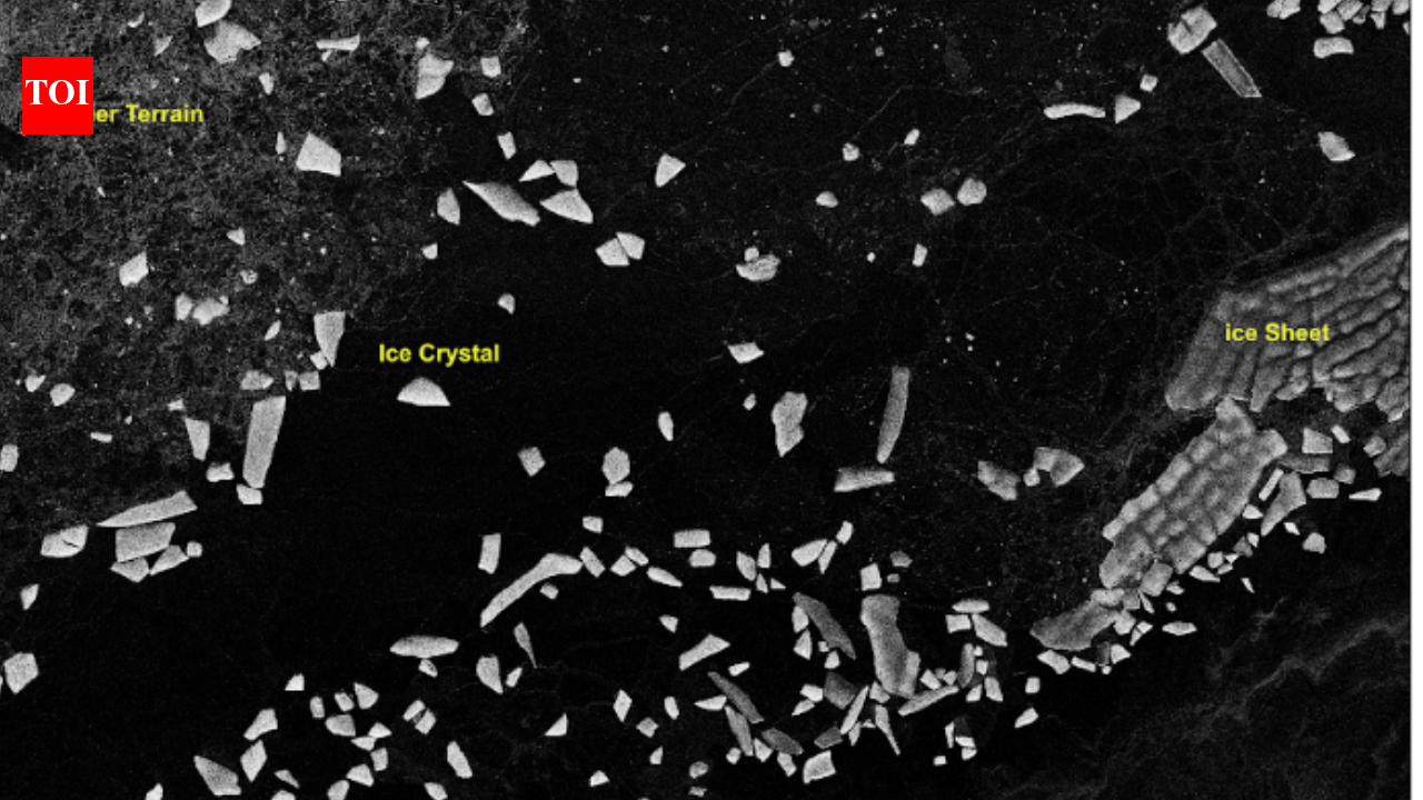
- Sample images cover Tamil Nadu, Antarctica, Assam's Brahmaputra basin, Idaho, Greenland and Indonesia.
- The mission is now in its science phase, gathering data from locations worldwide as per its observation plan.
Open Radar Data for Floods and Farms Alike
- Nisar uses two frequency bands on one satellite and revisits the same location every 12 days.
- The dataset includes interferometric products that can detect subtle shifts in the Earth's surface useful for landslide monitoring.
- Users can search, filter and download the data on Bhoonidhi after registering, with tools to convert file formats.
all-newstrending-now